Before you go
Our five favorite trails
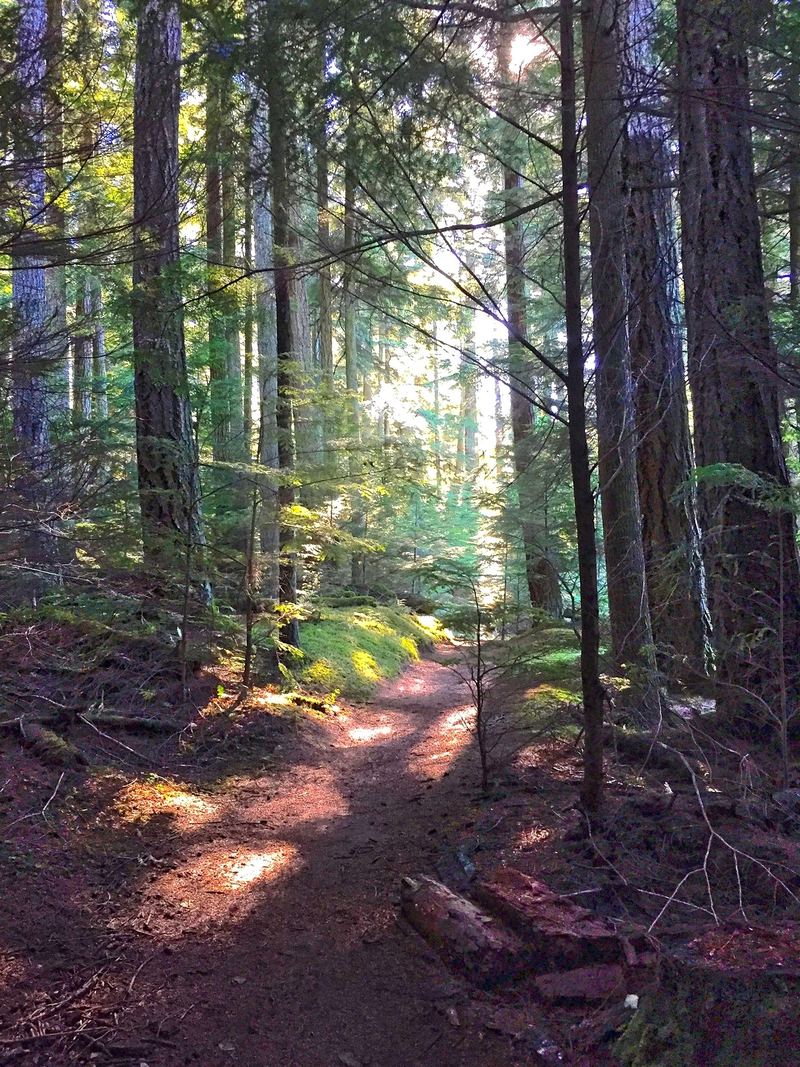
We've walked these trails for years, in every season, and they're the ones we send our own friends to. Four are in Moran State Park and one is on Turtleback Mountain, on the island's west side. Pick one for a quick morning outing or string two together for a full day.
A few things before you go:
- Parking in Moran State Park needs a Discover Pass.
- Dogs are welcome on leash (8 feet or shorter in Moran).
- Trail conditions change, so check Moran State Park before you go.
In this guide
At a glance
The five hikes
| Hike | Distance | Gain | Difficulty | Dogs | Parking |
|---|---|---|---|---|---|
| Cascade Falls | About 0.25 mile each way | 130-foot drop | Easy | Dogs on leash | Discover Pass parking |
| Cascade Lake Loop | 2.7-mile loop | Mostly flat | Easy | Dogs on leash | Discover Pass parking |
| Turtleback Mountain Preserve | Over 8 miles of trails | About 850–1,300 feet, depending on route | Moderate | Dogs on leash | No parking pass |
| Cold Springs Trail | 4.3 miles one way to the summit | About 2,000 feet of climbing | Hard | Dogs on leash | Discover Pass parking |
| Mountain Lake Loop | Nearly 4‑mile loop | Mostly flat | Easy | Dogs on leash | Discover Pass parking |
Trails and facilities can change without notice, and we may not hear about it right away. Check with Moran State Park or the San Juan County Land Bank before you go.
Hike 1 · Moran State Park
Cascade Falls
- About 0.25 mile each way
- 130-foot drop
- Easy
- Dogs on leash
- Discover Pass parking
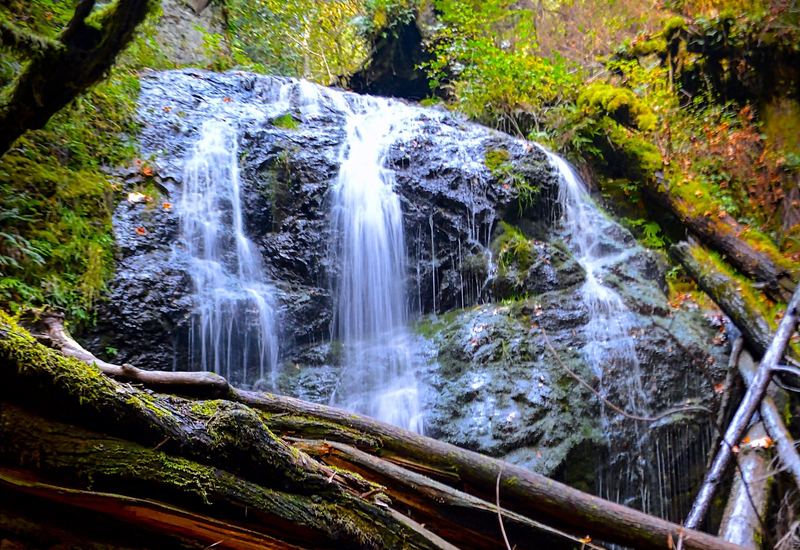
If you only have half an hour, make it this one. A short path drops down through the forest to Cascade Falls, and it's a beautiful spot in any season. The falls are at their fullest in spring and early summer.
It's steep in places, and the climb back up to the car is the only real work.
Why we like it: A big payoff for very little time.
Getting there: Drive about 0.4 mile up Mount Constitution Road to the signed Cascade Falls lot on the right, then follow the trail down.
Fun fact
At about 40 feet, Cascade Falls is the tallest waterfall in the San Juan Islands. Rustic, Cavern and Hidden Falls are on the same creek, so you can see all four on one walk.
Hike 2 · Moran State Park
Cascade Lake Loop
- 2.7-mile loop
- Mostly flat
- Easy
- Dogs on leash
- Discover Pass parking
- Restrooms
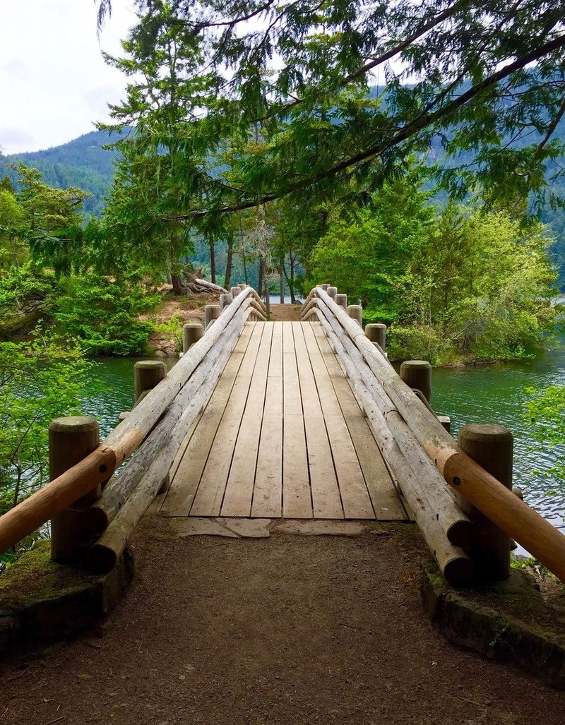
This is one of the most popular walks in the park, and it's easy to see why. The loop circles Cascade Lake with the water in view most of the way.
The loop is open year-round to hikers. Bikes are allowed only on posted sections. In season, the Sugar Shack has ice cream and espresso. It's seasonal, so don't count on it in the off months.
Why we like it: A good-length walk, mostly flat, with lake views nearly the whole way.
Getting there: Park at the Cascade Lake day-use area.
Fun fact
In 1921, Robert Moran donated nearly 2,700 acres to create Moran State Park, Washington's first large state park.
Hike 3 · San Juan County Land Bank
Turtleback Mountain Preserve
- Over 8 miles of trails
- About 850–1,300 feet, depending on route
- Moderate
- Dogs on leash
- No parking pass
- Restroom (North trailhead)
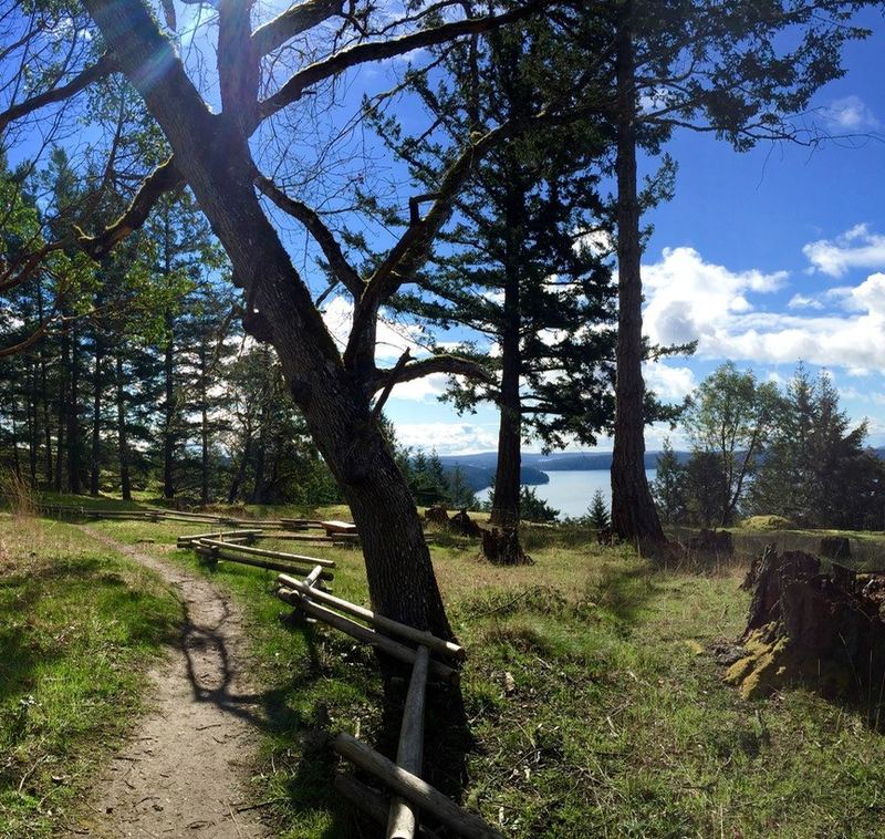
Turtleback rises over Crow Valley on the island's west side. It's 1,718 acres of open hillside and forest.
There are over 8 miles of primitive trails and several routes near the top. The South trailhead is for walkers only. The North trailhead trails are shared: bikes on even calendar days, horses on odd days, and walkers every day.
Both trailheads have small gravel lots that can fill on busy days. There's no water and no trash cans, so pack it in and pack it out. Dogs are welcome on leash.
Why we like it: Wide-open views on a quieter side of the island.
Getting there: The North trailhead is off Crow Valley Road, and the South trailhead is off Wild Rose Lane near Deer Harbor Road. Trail maps are at sjclandbank.org.
Fun fact
In 2006, more than 2,000 donors helped buy Turtleback. Gary Larson of "The Far Side" drew a cartoon for the campaign.
Hike 4 · Moran State Park
Cold Springs Trail
- 4.3 miles one way to the summit
- About 2,000 feet of climbing
- Hard
- Dogs on leash
- Discover Pass parking
- Restroom (trailhead)
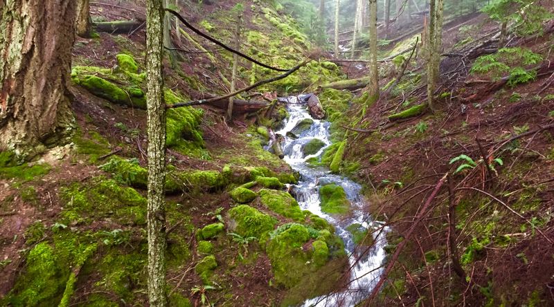
This is the workout of the bunch. The trail climbs steadily from Cascade Lake to the top of Mount Constitution, past creeks and seasonal cascades.
You don't have to go to the top to make it worthwhile. The historic Cold Springs shelter, about 2.5 to 3 miles up, makes a good turnaround.
Why we like it: Real elevation, real views, and a good reason to earn your dinner.
Getting there: The trailhead is across Olga Road from the Cascade Lake day-use area.
Fun fact
The little eight-sided log pump shelter at Cold Springs was built by the Civilian Conservation Corps in the 1930s.
Hike 5 · Moran State Park
Mountain Lake Loop
- Nearly 4‑mile loop
- Mostly flat
- Easy
- Dogs on leash
- Discover Pass parking
- Restrooms
Mostly level, with one short climb on the far side.
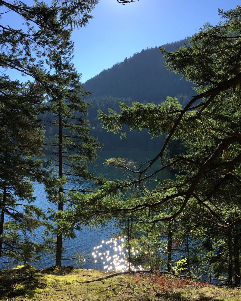
Mountain Lake is the largest lake in Moran, and this loop follows its shore most of the way. Expect rocky hills, woodlands and tree-lined marshes. There's one short climb on the far side of the lake, and the views across the water are worth it.
Why we like it: A peaceful lakeside loop with easy parking and restrooms at the start.
Getting there: Drive about 1 mile up Mount Constitution Road to the Mountain Lake turnoff. Park by the restrooms or walk the road to the boat launch.
Fun fact
Mountain Lake was dammed around 1905 to send water downhill to the mill at what is now Rosario.
Stay with us
Your home base for the trails
After a day on the trails, it's good to come home to a comfortable, well-stocked place to unwind. We have three homes on Orcas, and each one makes a good base for exploring.
Trail conditions change, so check Moran State Park and the San Juan County Land Bank before you go.
We hope you get out on a few of these. If you have questions about a trail, just ask.
Lori & Todd
Prefer paper? Download the printable hikes guide (PDF)
Elevation: USGS 3DEP. Trails: © OpenStreetMap contributors.